SILVA Expedition Compass
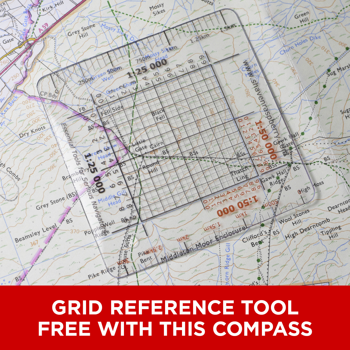
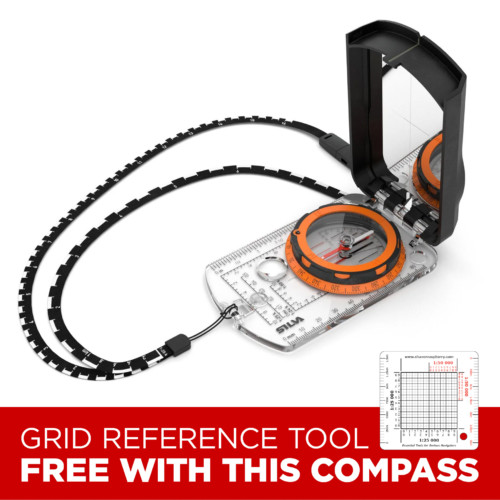
Includes a Free Grid Reference Tool
The Silva Expedition Series are top of the range traditional base plates compasses with high-end features.
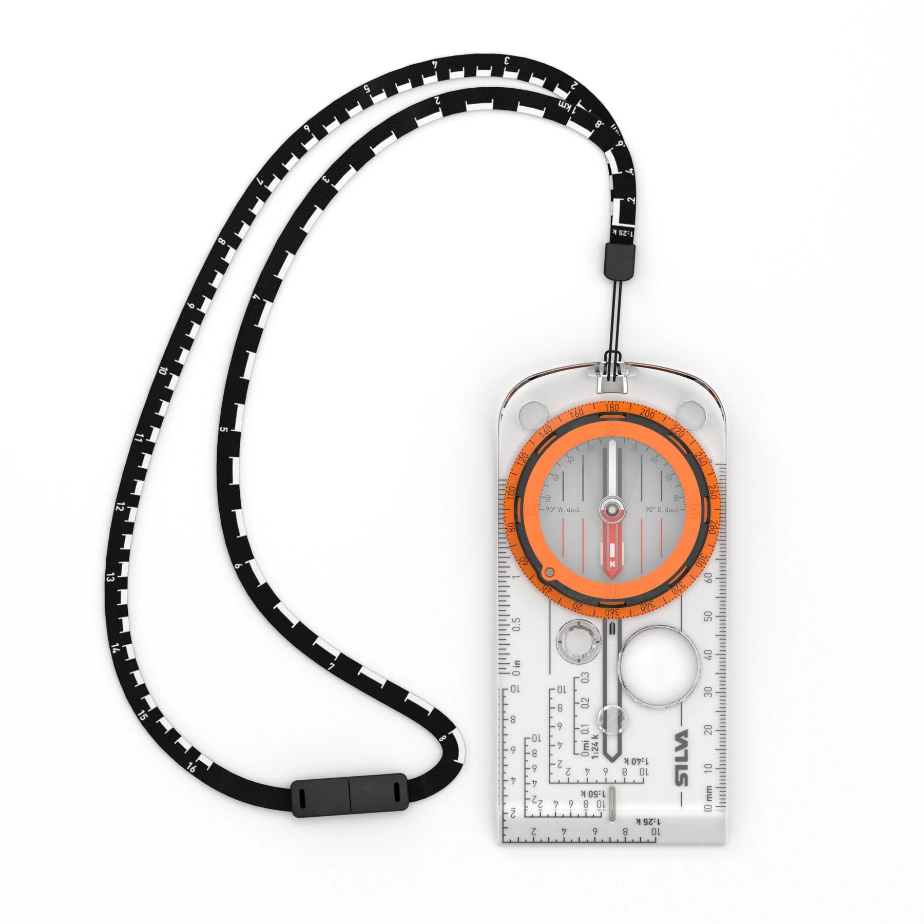
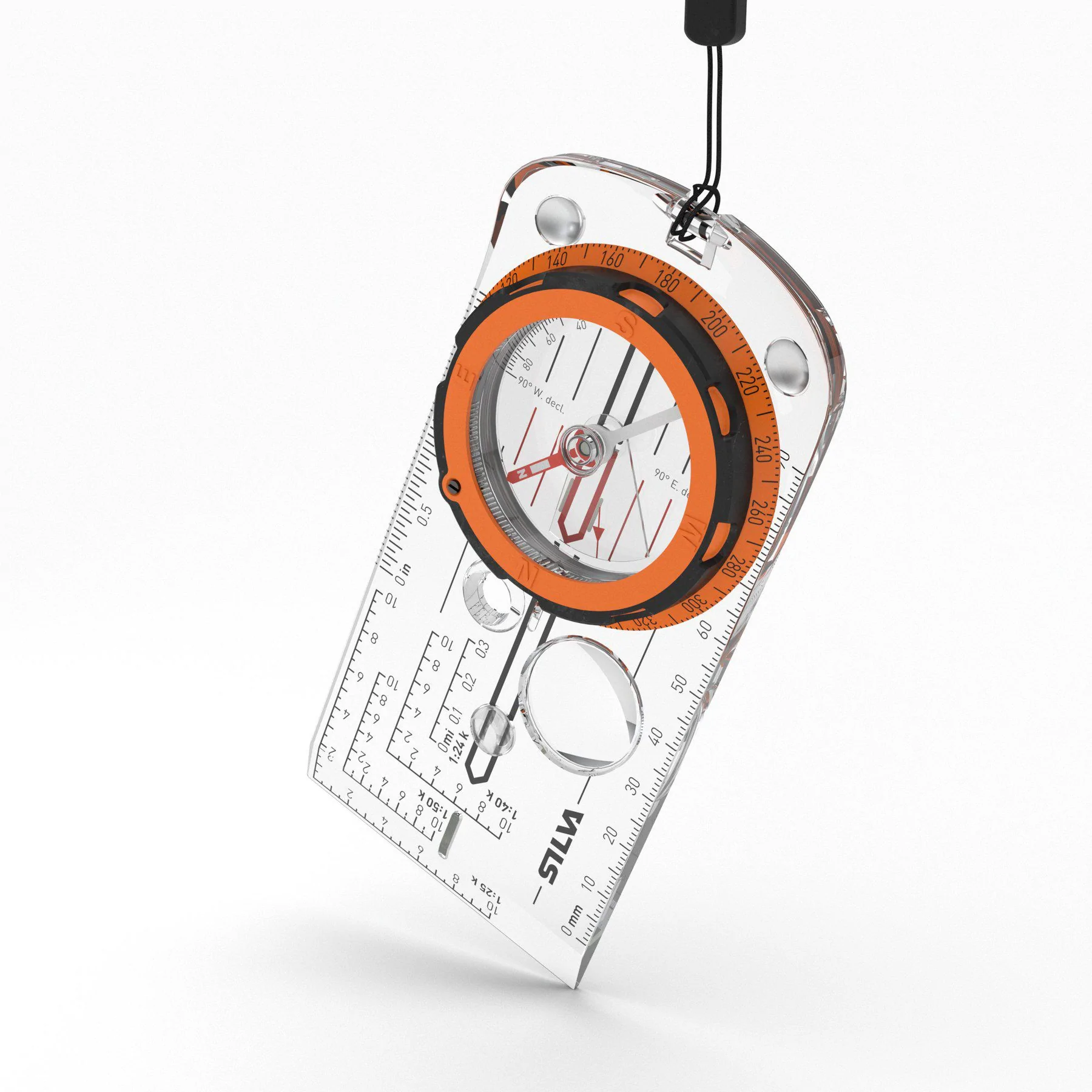
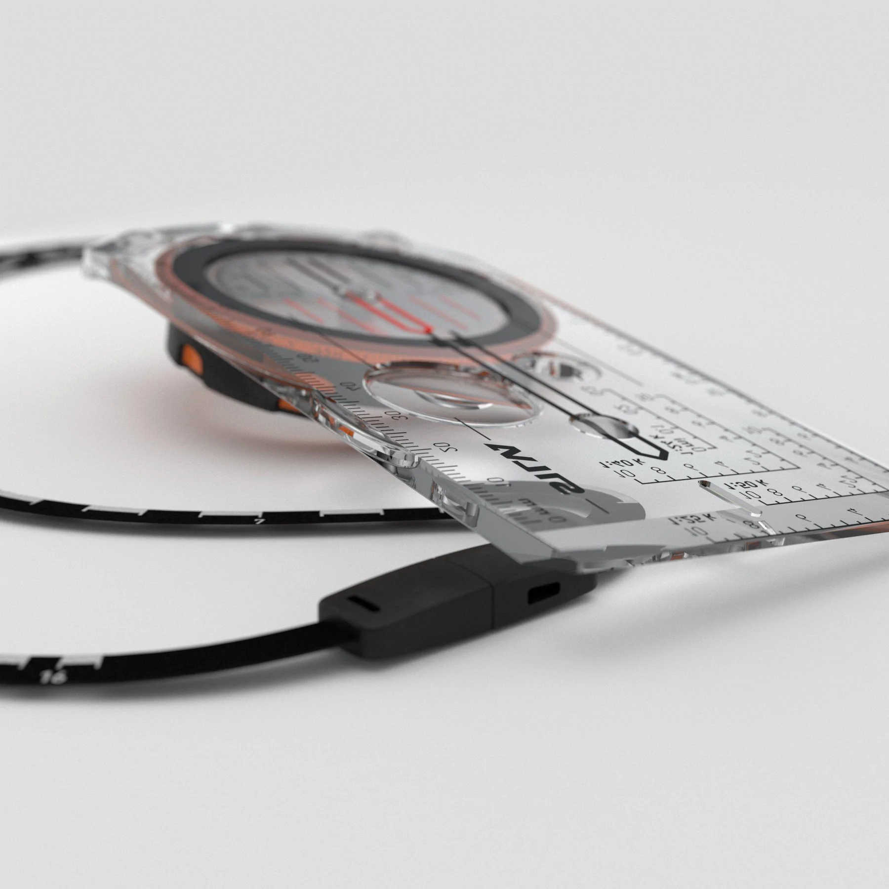
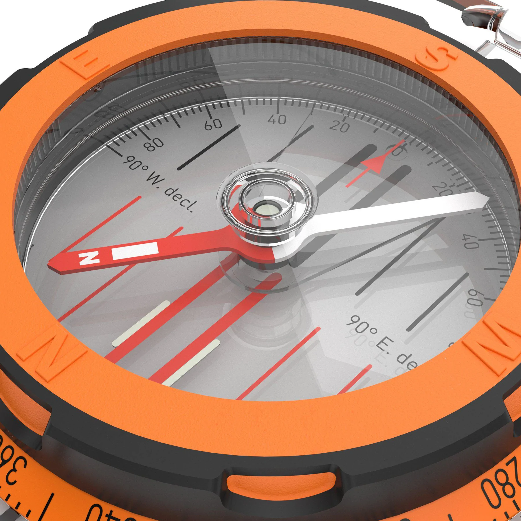
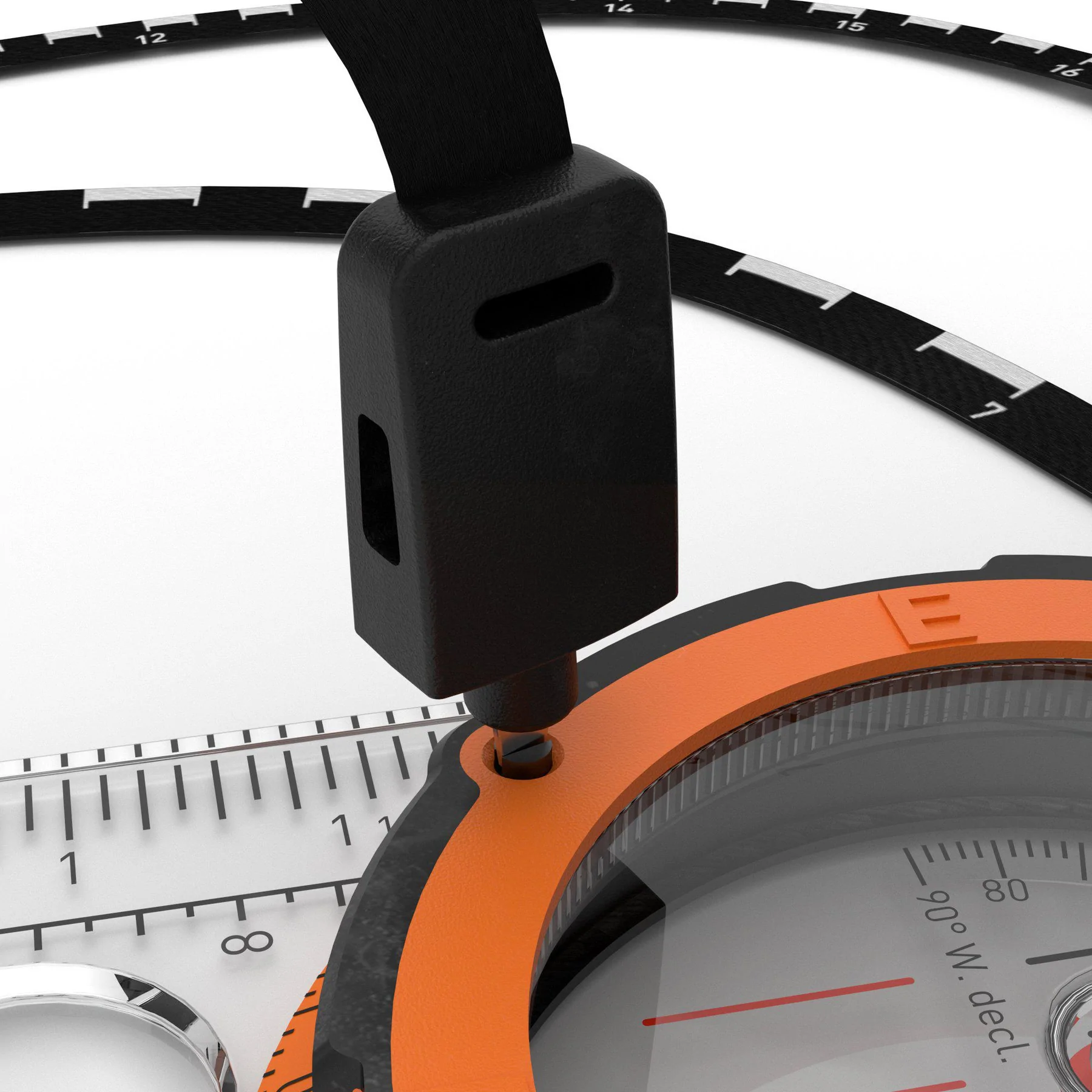
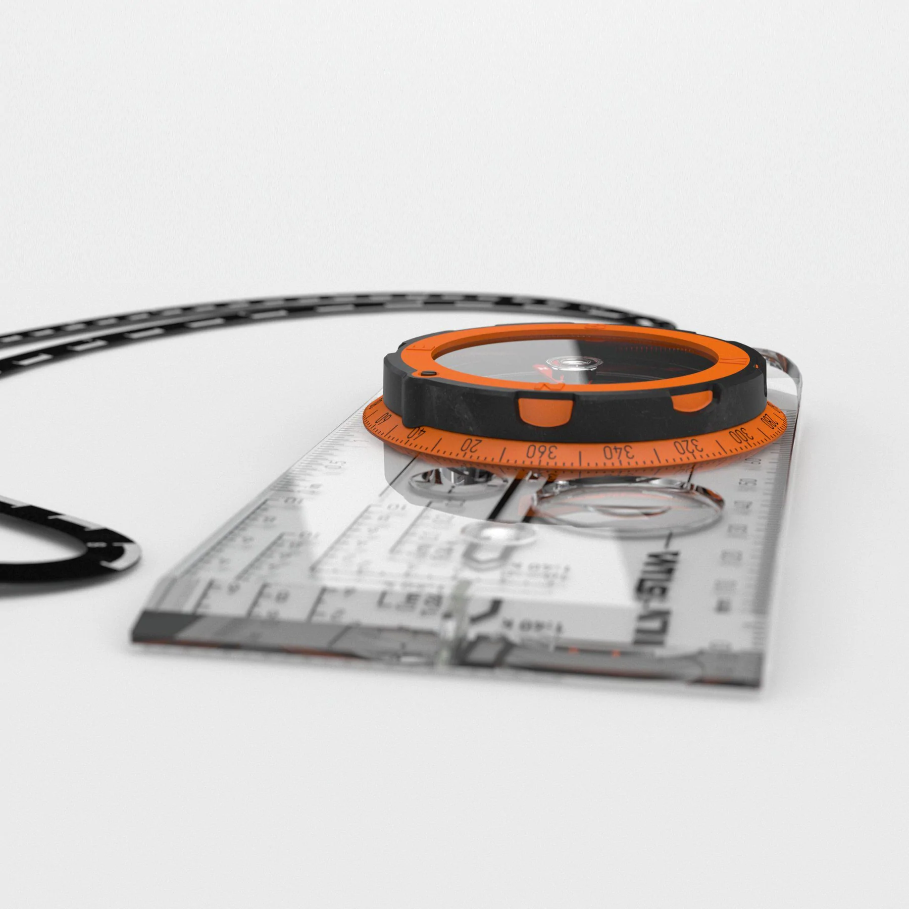
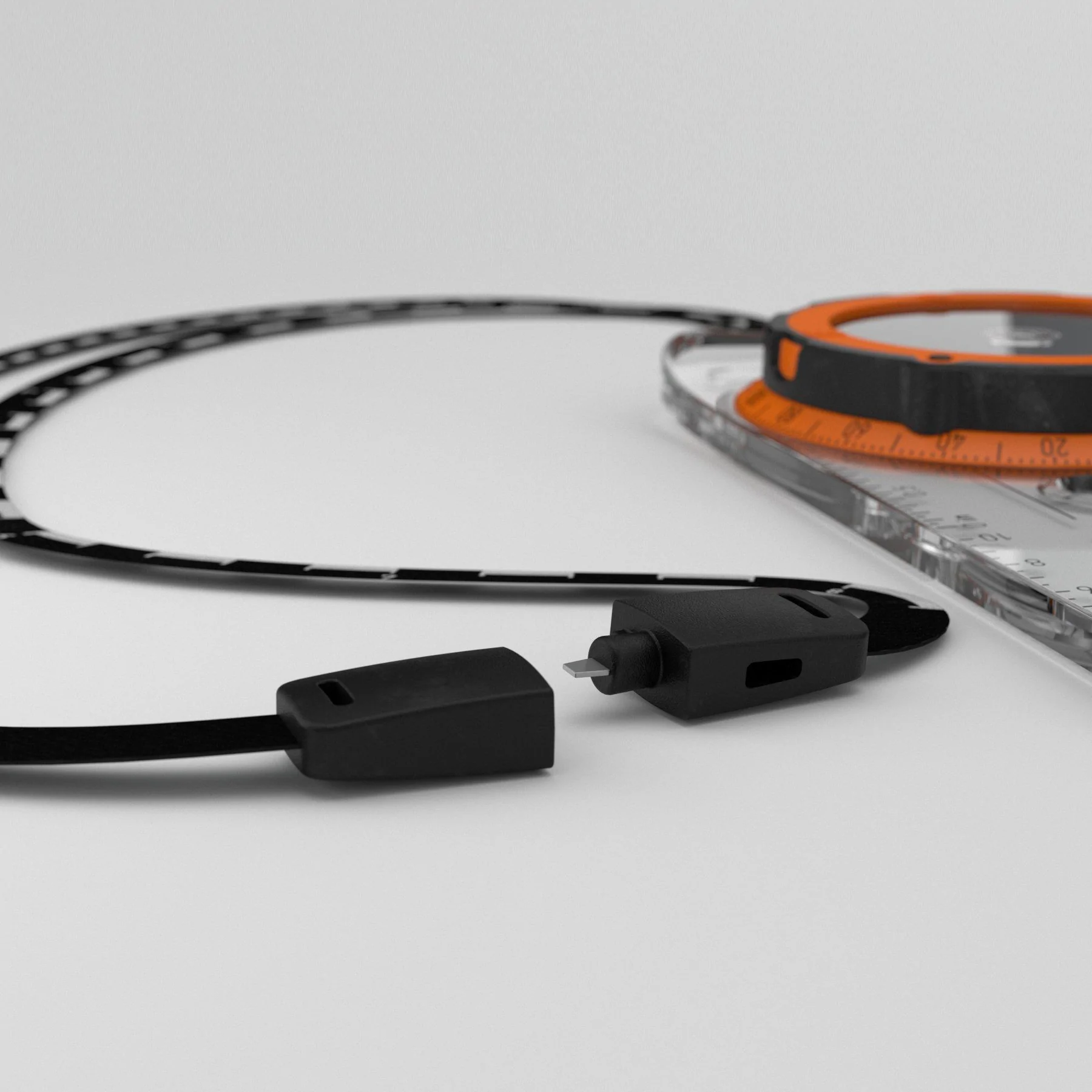
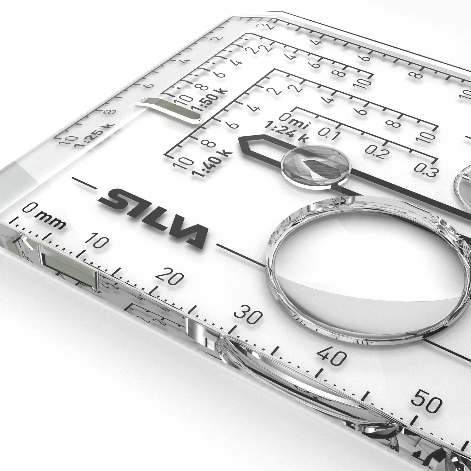
This compass features easy-handling rubber housing, silicon rubber feet for precision map work, detachable safety-release distance lanyard, night-enabling luminous markings, magnifying lens, a clinometer for measuring slope angle, map-measuring scales in mm or inches and GPS scales 1:25,000, 1:40 000 and 1:50,000, plus built-in adjuster for magnetic declination (including permanent local adjustment). For use in the northern hemisphere only.
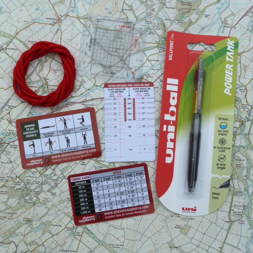
In addition to the free SR GRT you will also receive:
Slope Card
The slope card is great both for detecting avalanche risk and for determining how challenging your journey will be. By knowing the slope you can also judge any extra distance that you need to go due to the slope. Always take caution in steep terrain. The risk of avalanches increase if the slope is steeper than 30 degrees. The slope card will help you detect this risk. For use in the northern hemisphere only.
Scale Lanyard
This compass model is equipped with a detachable scale lanyard that works like a ruler. The scale lanyard has two scales on it; 1:25, and 1:50, which makes it easier to measure the distance of your hike. Since its soft and bendable it’s easy to place directly on to your route on the map when you are out in the terrain – or when you are planning for your next adventure.








Mark –
Bought to replace silva and sunnto compasses that had developed large air bubbles within the bezel/needle that were big enough to cause the needle to misread.
This new version looks perfect with all the features needed included, the price seems very competitive from Shavenraspberry, l couldn’t find cheaper on the web and the addition of a grid ref tool is a nice bonus ( many thanks for this).
Stephen Whitehouse –
Very good service as usual. This was the cheapest price that I could find for this product.